

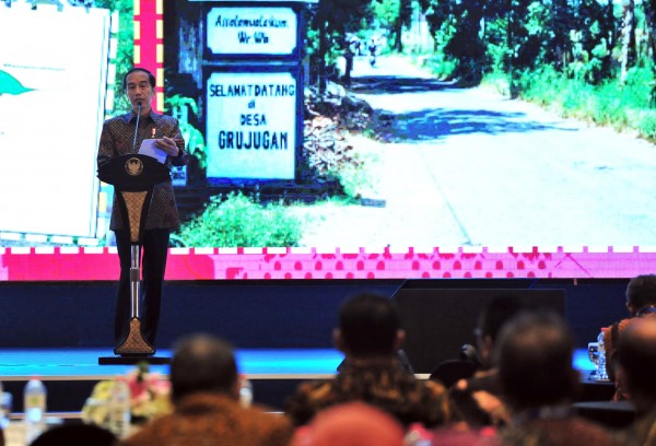
PRESIDENT Joko Widodo, Tuesday (11/12/2018), launched One Map Policy Geoportal (KSP Geoportal) to provide one accurate and accountable map. The regulation on the program to accelerate One Map Policy has been enacted since 2016 by issuing Economic Policy Package VIII and Presidential Regulation Number 9 Year 2016.It is a national information portal to serve as a point of reference for land use planning by all government institutions and the general public. "Take action immediately to resolve any overlap in land utilization planning by using data from the geoportal," the President said in Hotel Bidakara, Jakarta.One Map Policy is a priority program in implementing Nawa Cita (nine development priorities). Under the One Map Policy, the government could set development plan, provide infrastructure, issue permits and lands right, as well as share national policy based on accurate data spatial.On a press release, Tuesday (11/12/2018), Coordinating Economic Minister Darmin Nasution reported to the President that the government has integrated 83 of 85 thematic maps. Two thematic maps have not yet been integrated, namely the National Sea Spatial Plan Map (RTRLN), which is being produced, and the subdistrict and village border map. The two were in the process of integration."The integrated thematic maps has been uploaded to KSP Geoportal and can be accessed by ministries/institutions as well as by regional government," Darmin said.One of the current biggest challenge to resolve is overlap in land use. A team to accelerate One Map Policy has completely synchronized overlap map in Sumatera and Kalimantan. The team will continue synchronize the map in other islands to be completed in 2019."As part of the effort, the government has published Synchronization Directive Book on how to inclusively resolve overlap map," Darmin added.At the launching event, the government awarded Bhumandala to ministries/institutions that succeeded developing geospatial infrastructure to support One Map Policy. Bhumandala awards were given on some categories, included Best Node Network, Best Geoportal, and Best Node Network Utilization. They were awarded to 6 ministries/institutions, 6 Provincial Governments, and 7 Regency/City Governments.A pictorial book was also launched at the event organized by Ministry of Coordinating Economy, The Committee for Acceleration of Priority Infrastructure Delivery (KPPIP), and BIGini, titled "Kemajuan Infrastruktur Nasional: Modal Transformasi Ekonomi dan Kesatuan Bangsa". The book pictures government effort to massively build infrastructure since 2014. ***